
Country field guide
Laos
Regions · heritage · roads & river
A country field guide to the regions, heritage, transport and everyday rhythms that shape a journey through Laos.
- 01Plan Laos by regions, not by straight-line distance
- 02Four World Heritage properties reveal four different versions of Laos
- 03The railway is fast; the country around it is not
- 04Keep one backup for every practical system
01 · Read the country
Plan Laos by regions, not by straight-line distance
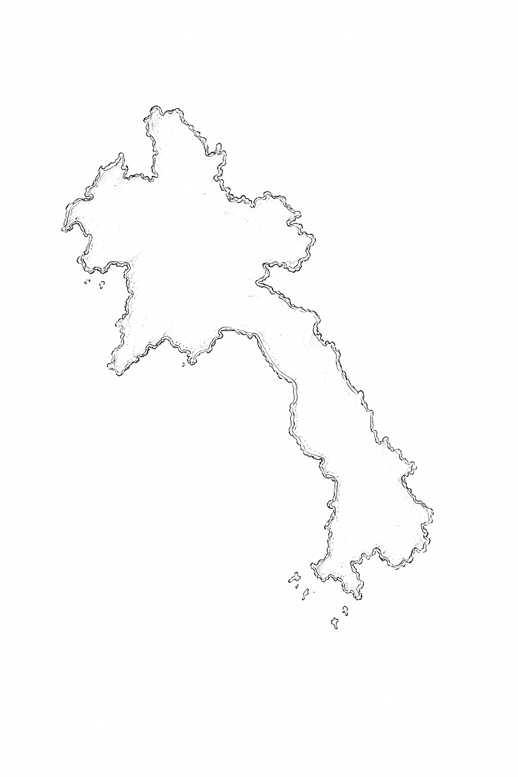
The north is increasingly organised around the Vientiane–Vang Vieng–Luang Prabang–Boten railway corridor, with mountain roads and river journeys branching away from it. Central Laos slows back down around limestone country, the Thakhek Loop, caves and long road stages. South of Pakse, the rhythm changes again toward the Bolaven Plateau, Champasak and Si Phan Don.
That difference matters more than the size of the country on a map. A short northern rail segment can take less time than a modest-looking road day in Khammouane or the south. Build each region with the transport that actually exists there.
02 · UNESCO and living heritage
Four World Heritage properties reveal four different versions of Laos
Laos now has four UNESCO World Heritage properties. Luang Prabang represents an unusually preserved meeting of Lao religious architecture, traditional houses and colonial-era urban fabric. Vat Phou sits inside the wider Champasak cultural landscape, where sacred geography and Khmer history extend well beyond a single temple.
The Plain of Jars adds a prehistoric archaeological landscape in Xiengkhuang. In 2025, Hin Nam No National Park became the Lao part of the transboundary Phong Nha-Ke Bang and Hin Nam No World Heritage property, recognising a major karst landscape shared with Vietnam. Heritage in Laos is therefore not one architectural style: it stretches from living Buddhist towns to megaliths, sacred mountains and cave ecosystems.
03 · Moving through Laos
The railway is fast; the country around it is not
The Laos–China Railway has transformed travel between Vientiane, Vang Vieng and Luang Prabang, but it does not solve transport across the whole country. Outside that corridor, buses, minivans, private drivers, domestic flights, boats and rented motorbikes still do most of the work.
Published road times are best treated as estimates. Weather, roadworks, breakdowns, loading stops and local transfers can stretch a journey. When Pakse and Vientiane are both in the itinerary, compare the long road journey with the domestic flight rather than assuming the bus is automatically the better fit.


04 · Entry, money and connection
Keep one backup for every practical system
Entry options vary by passport and checkpoint. Eligible travellers may use the Lao eVisa at designated entry points, while visa-on-arrival availability depends on the border being used. Check the exact crossing rather than assuming a rule that worked at an airport also applies to a small land border.
The Lao kip remains the everyday currency. Cash is still the safest default for markets, small restaurants, rural guesthouses and fuel stops. QR payments are common in local life but foreign banking compatibility is inconsistent, so combine cash with a backup card. A local SIM makes navigation and last-minute coordination much easier, but remote stretches still reward screenshots and offline maps.
05 · Scooters, roads and the invisible map
A motorbike opens the road, but it also changes the responsibility
Renting a scooter or semi-automatic is easy in many traveller hubs, but an informal handover does not remove licence, insurance or legal requirements. Inspect tyres, brakes and lights, photograph the bike, understand the deposit and ask what happens after a breakdown far from town.
Road travel also carries one distinctly Lao rule: do not leave marked paths in areas affected by unexploded ordnance. Decades after the conflicts of the twentieth century, UXO still affects parts of the country. Marked trails, local guidance and official warnings matter more than curiosity about an untracked shortcut.
06 · Eat with the country
Sticky rice is a clue to how everyday Laos works
Lao food is built around shared textures and strong contrasts: sticky rice, herbs, grilled meats, soups, fermented flavours and chilli-rich dips appear in many regional forms. Laap is internationally familiar, but a market breakfast, a simple bowl of noodles or grilled food beside the road often says more about a place than a restaurant designed around a traveller menu.
Meals are also social. Watch how food is shared, use the basket of sticky rice as intended and let local habits set the pace. Regional food changes as the landscape changes, so the north, the Mekong corridor and the south should not be treated as one identical menu.
07 · Weather changes the route
The dry and wet seasons create different versions of the same journey
Dry-season travel generally simplifies roads, river crossings and outdoor access, while the wet season brings greener landscapes, stronger waterfalls and more variable tracks. Neither is automatically better: each changes what is comfortable, photogenic and safe.
On plateau and cave routes, recent rain matters as much as the month on the calendar. Water levels can alter cave boats, river activities and swimming conditions; mud can turn an easy track into a slow one. Ask locally when an activity depends on water or an unsealed road.
08 · Building the journey
Choose fewer chapters and leave space between them
A first trip does not need every famous Lao stop. A strong route might combine the northern railway corridor with one slower mountain extension, or focus on central cave country, or use Pakse as the beginning of a southern chapter toward the plateau, Champasak and the islands.
The country rewards empty time because transport and weather are not the only variables. A conversation, a village, a market or a road you did not expect can become the memory that justifies the journey. Build the plan tightly enough to move, but loosely enough to notice where you are.
Visa rules, transport schedules, border procedures, prices and local access can change quickly. Use this guide for context and planning, then confirm any time-sensitive detail with the relevant official source before travelling.
Sources & further reading
OPEN THE ATLAS
Choose your next chapter
Use the country guide to understand the rhythm, then open a city chapter and build the route from there.